


SloveniaHolidays.com > Aktivitäten > Sv. Ana
Sv. Ana


Ausgangspunkt: Rudnik
- Länge der Radwege:
12.0 km - Zeit:
01:00:00 - Schwierigkeitsgrad:
Mittelschwer - Boden :
Asphalt, Schotterstraße
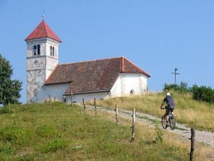
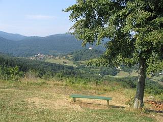
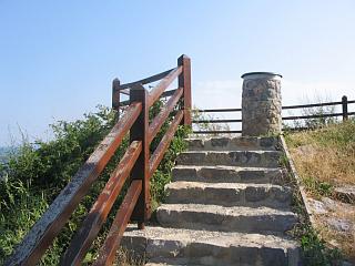
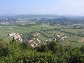
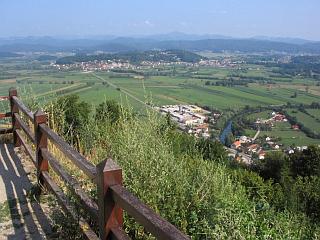
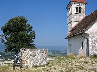
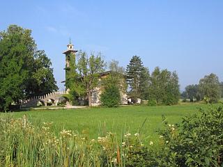
The route begins in the southern part of Ljubljana, at the intersection of Ižanska cesta (lined by a deep ditch on both sides) and the road toward Črna vas, the only road leading across the central part of the Ljubljana moor. If you arrived from the freeway (Ig exit), head straight toward Črna vas at the intersection behind the Barje Cooperative house (hall, bar, warehouses, once a store). After 500 meters, you'll reach the famous church of St. Michael, designed by Plečnik. The building has an unusual belltower made of stone and brick. A wide concrete stairway in front of the belltower leads to the church upstairs. Take a brief break to enjoy the wonder of the church, then continue toward Lipe, Jezero and Podpeč. The level asphalt road is surrounded on both sides by the Ljubljana road. On the left, you can enjoy a view of the Krim hills. Soon, you should also see the hill with the church of St. Anna above the quarry in Podpeč. At the end of the plain, turn left at the intersection in Podpeč (on the right there is a closed bridge over the Ljubljanica river that is scheduled for demolition) and then immediately turn right toward Rakitna, Kamnik pod Krimom and Borovnica. Continue through the village Podpeč, known mostly for the quarry from which the famous Podpeč marble is extracted. At the signpost for Rakitna, turn off the main road to the left. Follow the asphalt road uphill for about 800 meters, then head left toward St. Anna. The way is marked with a smaller signpost. The 1500-meter ascent up a macadamized road is rather long and difficult, but you will be rewarded at the top with a beautiful view of the Ljubljana moor. On a clear day, you can see all the way to the Kamnik Alps.
WARNUNG:
Für die beschriebenen Fahrradrouten und die Genauigkeit der Angaben übernimmt der Autor dieser Seiten keine Verantwortlichkeit. Wir haben die Fahrradrouten in der bestmöglichsten Art vorgestellt. Die Verantwortlichkeit für die Durchführung der Fahrradtour übernimmt jeder Einzelne bzw. der Besucher dieser Seiten alleine. Das Fahrverbot in der natürlichen Umwelt (Amtsblatt der RS 16, 28/95).